A public festiville to celebrate the (im)possibilities of map making.
Become an expeditionist and explore particular niches within the cartopological practice.
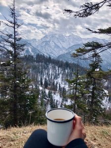
Regain strength at 246 meters above sea level in the flattest country of Europe. Basic coffee, beverage and survival meals.
Named after the first woman to summit the Mont Blanc. This is where maps are being dissected.
Coming soon: the possibility to stay the night.
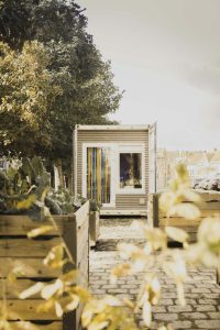
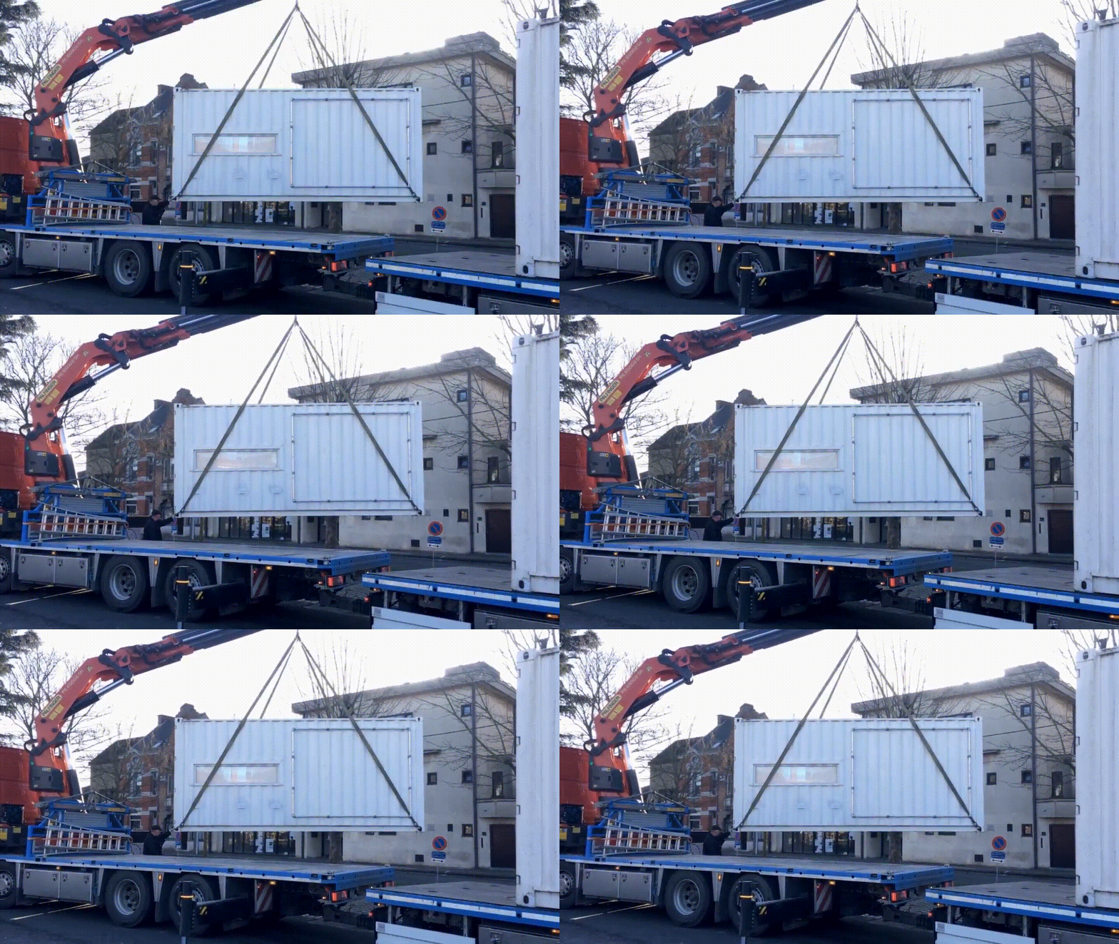
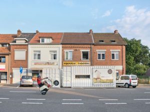
A mobile studio from where Dear Hunter’s field work is conducted. Applied cartopology at its finest.
Don’t leave the mountain empty handed. Here you’ll find the knick-knacks a cartopologist needs to map their way back home.
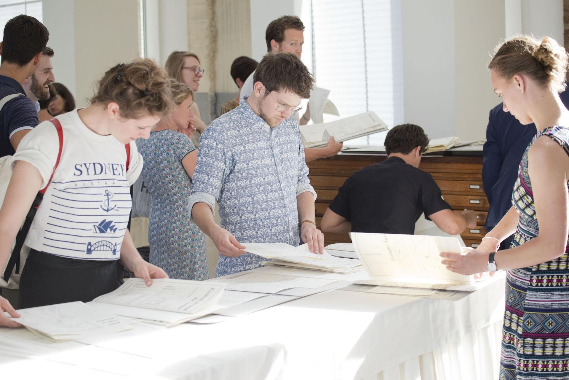
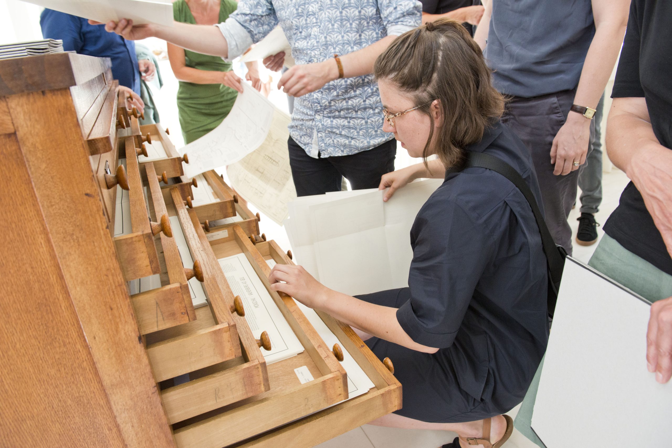
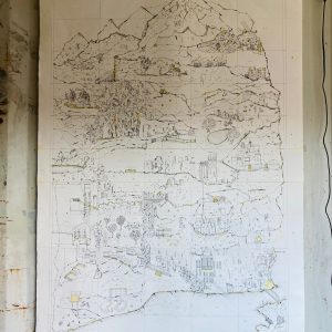
A map shelter for retired maps. We archive, store and restore all maps, without discrimination. Any status, size or quality. Come and contribute, borrow, study and admire.
Accompany-programs for explorations within the cartopological discipline. They are often prepared and set out in collaboration with universities and art academies.
Follow the process of building an Institute of Cartopology, halfway the highest mountain of The Netherlands.
About
Introduction
Many challenges of the 21st century have a spatial dimension. The climate change, the housing shortage, the migration crisis. We are continuously using maps to improve our understanding of these spatial challenges. And, we are (finally!) discovering that these complex challenges deserve a versatile approach. Maps cannot be left behind. If they are to remain a window to the outside world and its challenges, they will have to better represent its complexity.
How to get here
Gemmenicherweg 36
6291 BT Vaals
Consider the surroundings, do NOT come by car but by bus 350 (Aachen ↔ Maastricht), by bike or by foot.
Cartopology
| Cartopologists join the measurable and absolute geographical coordinates of a place with the daily reality that takes place. They do this by spending a long time at the place they map. Cartopologists literally engage the place, by inhabiting it for a time. Cartopology stretches up and merges cartographic documentation techniques with anthropological fieldwork methods such as participatory observation. Cartopology expands and enriches the impoverished representation on maps and does more justice to the complexity of reality. | 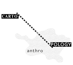 |
You are here
|
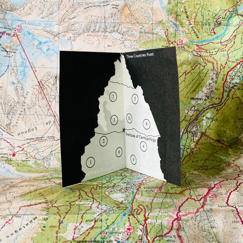
A mountain viewed from above could be a circle, with the center point being the highest point of the mountain. Viewed from the side, the mountain could be a triangle, with one of the three points pointing upwards as the highest point of the mountain. The highest point of mountains is where many want to go. Cartopologists don’t. Cartopologists aim for the mountain faces. Where tectonic plates rub. Where the expert meets the enthusiast on its way to the summit. There where the forest reaches its tree line. There where life takes place, in all its diversity. The Institute of Cartopology is located halfway up the mountain, the Vaalserberg. The highest mountain in the Netherlands, at NAP+246.
|
 |
| Topview | Sideview | |
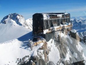
| For the Institute of Cartopology, the mountain is both a reality and a metaphor. You are now at NAP+246 altitude, on the Top View. There, like the ‘Capanna Regina Margherita’ in the Italian Alps, the Institute of Cartopology is a research institute as much as a visitor centre and a tourist destination. The Top View informs you about expeditions, the refuge, the Marie Paradis workshop and the opening hours of Aon d’n Hujel. |
You reach the Side View by clicking on the top right. It shows the mountain from the side. We are no longer on the actual Vaalserberg but looking at an imaginary mountain. This Side View provides a panoramic overview of the cartopological discipline. By walking up the mountainside, either by means of marked routes or by setting out your own paths, you learn more about cartopology and its scientific context. As it happens, you are walking into Marlies Vermeulen’s doctoral research. | |
 |
 |
How we work
|
The Institute of Cartopology has three fundamental cornerstones on which it builds its activities.
|
||||
|---|---|---|---|---|
| Publicly | In the making | For amateurs and experts | ||
| The Institute of Cartopology does not research and experiment on its own and behind closed doors but engages the public as a fundamental functional part of its research activities. | The Institute of Cartopology is particularly concerned with how maps are made. Methodology, practice, exercising, and experimentation is therefore at the heart of it. | Cartopological maps are at the intersection between science and art. But equally at the intersection between practical tool and autonomous object. They are read by professionals to reach the summit and used by walkers on the mountainside. Everyone concerned with the living environment therefore has an interest in the Institute for Cartopology. | ||
For who?
Have you used a map before? For example, Google Maps? Have you ever expressed your opinion about your living environment? For example, by cleaning up litter or maintaining a garden? We have a winner! The Institute of Cartopology is also for you
Souvenir Shop
Souvenirs
Who wouldn’t want to take something back home, as a materialised memory of their experience during an expedition, lecture, or unexpected encounter with the Institute of Cartopology halfway up the Vaalserberg? We offer essentials like tape and staplers, necessary to properly document and store the the DIY-publications offered by the Institute, but soon also high-quality tools and necessities for cartopological explorations. Don’t forget to check our shop when you’re visiting the Institute!
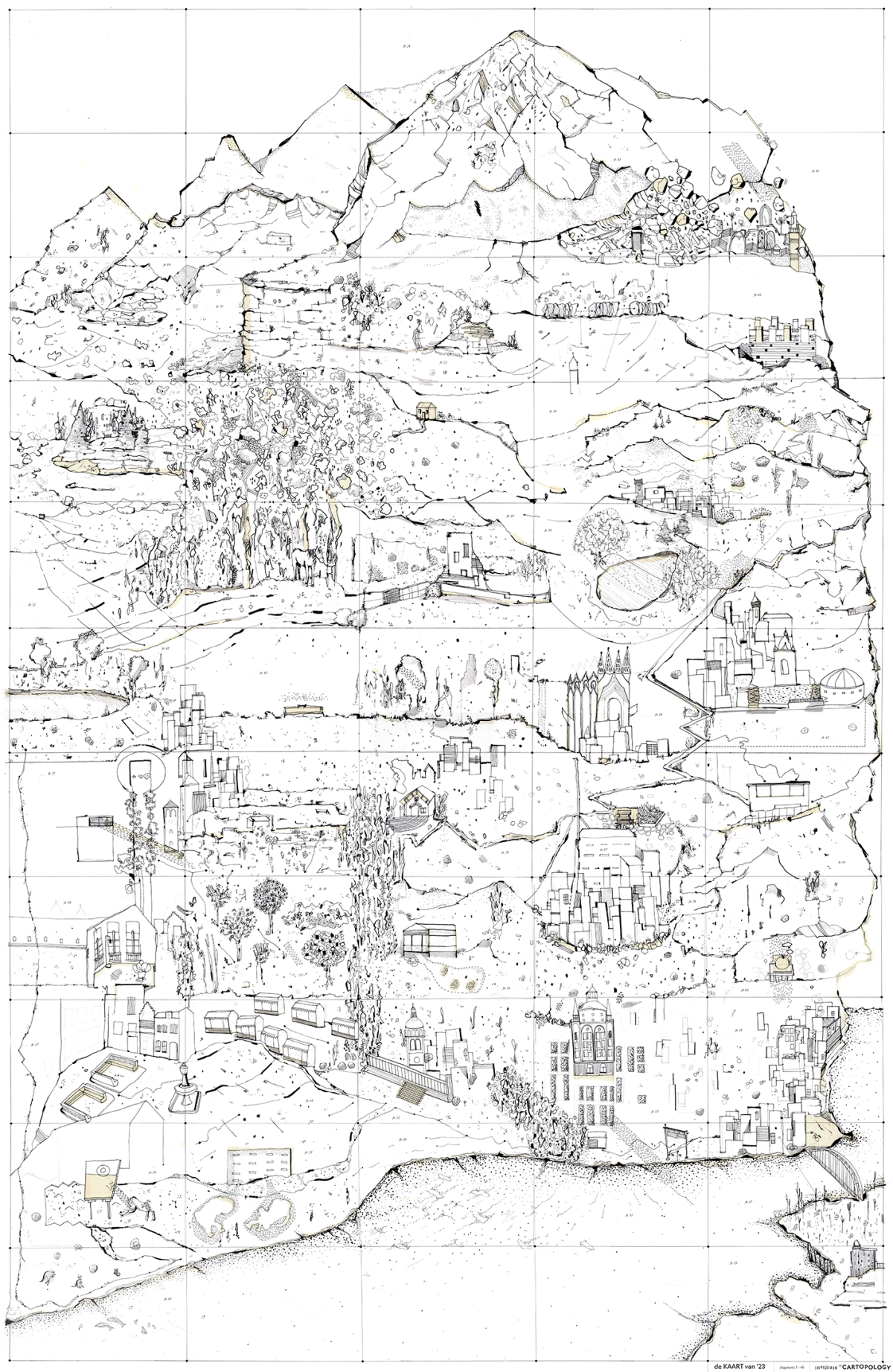
the MAP of '23
A unique and limited print of the MAP of ’23 on nice Biotop paper, size ±70x100cm. The print will be folded as a map. Shipping costs included in the price for The Netherlands, Belgium, Germany and Luxemburg. Other destination? Please send us a message and we’ll arrange it.
€55– |
Add to backpack  |
Marie Paradis Atelier
Introduction
|
What would an institute on maps be without an atelier in which maps are being investigated? Certainly not in institute on maps, no? The Marie Paradis Atelier is the place where we take a closer look. Maps, from nearby or far away, old or new, digital or analog, are treated with patience, care and curiosity. Their meanings detected; their makers tracked. Experts and enthusiasts work together in getting a grip on the world through the maps that are being brought to the table, but also bring in their worldly savoir faire in putting them in perspective. |
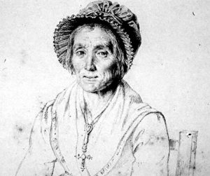
Portrait of Marie Paradis (1778-1839), ca. 1830, engraving. Origin unknown. |
Background
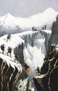 |
Marie Paradis (1778 – 1839) was the first woman to climb Mont Blanc. In 1808, Jacques Balmat and two other guides had decided to climb Mont Blanc for fun and training. Some say that it was Balmat who insisted that Marie Paradis would join them, but according to one account written by Alexandre Dumas, Paradis was the one who sought out the guide to ask to join the expedition he was leading, which included five men, all residents of Chamonix. Paradis was 30 years old at the time and worked as an innkeeper. On their way, she threw up and had nervous attacks, but insisted that she would die happy if she made it to the summit. |
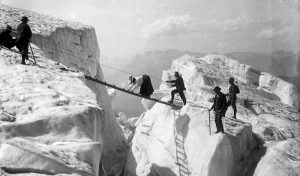
The excursion lasted three days and was quite an ordeal: near the summit, dressed in a skirt, as the aesthetic and moral restrictions of the time demanded, Paradis suffered a severe case of altitude sickness. She slipped, fell, and suffered so much that at one point she begged her companions to throw her into the nearest crevasse to end her misery. But they did not abandon her: they helped pull and push her up the rest of the mountain. “I felt my legs give out and I asked Balmat to slow down,” she said in an interview with Dumas. Some accounts claim that she reached the summit on July 14, 1808, on the backs of her guides; others, however, say that she managed to reach the top on her own.
|
Nevertheless, she retains the title of the first woman to climb Mont Blanc. The Annals of Mont Blanc, Edward Mathews notes that after her own successful ascent, residents of Chamonix celebrated her pioneering success, and Paradis was able to move into a house where, from then on, she would cook meals for expeditions returning from Mont Blanc. The second woman to climb Mont Blanc did so 30 years after her; when Henriette d’Angeville celebrated her successful ascent in Chamonix, she was congratulated by Paradis, who had received her special, personal invitation. |
 |
 |
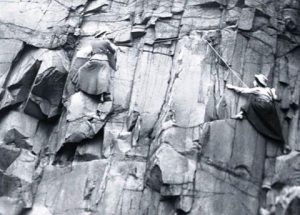 |
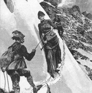
Henriette d’Angeville during her ascent of Mont Blanc. Among the most famous female exploits was that of Henriette D’Angeville, the second woman on the summit of Mont Blanc, in 1838. she cuttingly claimed to be the first woman to summit Mont Blanc who was “still capable of remembering her impressions”. Of course she was referring to Marie Paradis, who had reached the coveted summit 30 years earlier in such a miserable state that all she could remember was that, “Everything around was white and down below was black.”
Dear Hunter Basecamp
Introduction
Fact
|
Dear Hunter’s artistic research practice started in 2014, producing maps and atlases based on ethnographic fieldwork. Since then, it works for (mainly) governments across Europe by mapping (the use of) public space with the aim of better understanding it. Cartopology as a discipline arose through the continuous and intensive questioning of Dear Hunter’s practice, methods, and outcomes. As such, the mapping as practiced by Dear Hunter can be considered the origin of cartopology as a field. Dear Hunter as practice forms an active and part of the Institute of Cartopology. Cartopology is a living discipline, constantly questioned and negotiated. As such, the cartopological practice Dear Hunter and the results that it delivers, contribute to the further development of the discipline of cartopology |
About Dear Hunter
|
Being a ‘Dear Hunter’, referring to the behavior of hunters, means thoroughly immersing in situations in order to understand them completely, mostly by living and working on-site for relatively long periods of time. Doing so allows Dear Hunter to bridge the gap between streets and policy, people and space, bureaucratic systems, and physical living worlds.
|
Dear Hunter’s maps are being used in various contexts, such as policy, art, and academia. Decision makers and city planners use them to get a better understanding of the area they are working on. This results in designs that are better grounded in their surroundings or more successful interventions in spaces that lacked quality and liveability. Secondly, Dear Hunter’s maps navigate their way into the world of art & architecture through exhibitions and international art projects, as well as teaching (fine) art and architecture students about the interaction between people and space. | The third context in which the maps reside in academia. Lecturing, publishing, and working on a PhD on cartopology, the team of Dear Hunter informs scholarly fields such as anthropology, sociology, and urban studies. Finally, Dear Hunter feels most at home in public space. Surrounded by the people who are the reason to craft cartopological maps in the first place. Working with the users of a space, translating their knowledge into maps. Creating more inclusive, sustainable, and pleasant living spaces. |
 |
 |
 |
More info
See www.dearhunter.eu for projects, cartopological maps and upcoming ‘hunts’.
Aon d’n Hujel
Introduction
Did you know
Practical
| Aon d’n Hujel offers drinks and meals, depending on the season and availability. It is also the location for lectures, talks and other small events celebrating the (im)possibilities of map-making, maps in general and the relationship of maps with our surroundings. | Opening hours of Aon d’n Hujel depend on weather conditions, other external factors such as the expected number of climbers and researchers on the Vaalserberg and staff availability. Drop us a message if you plan a trip or expedition and want to be sure of your well-deserved break. |
Location: Aon d’n Hujel NL-6291 BT Vaals 50.76,06.01 |
refuge
Introduction
Did you know
Practical
| Aon d’n Hujel offers drinks and meals, depending on the season and availability. It is also the location for lectures, talks and other small events celebrating the (im)possibilities of map-making, maps in general and the relationship of maps with our surroundings. | Opening hours of Aon d’n Hujel depend on weather conditions, other external factors such as the expected number of climbers and researchers on the Vaalserberg and staff availability. Drop us a message if you plan a trip or expedition and want to be sure of your well-deserved break. |
Location: Aon d’n Hujel NL-6291 BT Vaals 50.76,06.01 |
Halfway there
Introduction
Halfway there. Halfway the Vaalserberg, the highest mountain of the Netherlands, at 246 m elevation rises the highest Institute of the country. Namely, the Institute of Cartopology. Here, halfway there, you can follow how we built it up. At the mountainside and in our imagination. We take you along the challenges we face, the chances we get and of course the maps we come across.
Volg hier de laaste updates
5 April 2023
 |
Marie Paradis (1778 – 1839) was the first woman to climb Mont Blanc. In 1808, Jacques Balmat and two other guides had decided to climb Mont Blanc for fun and training. Some say that it was Balmat who insisted that Marie Paradis would join them, but according to one account written by Alexandre Dumas, Paradis was the one who sought out the guide to ask to join the expedition he was leading, which included five men, all residents of Chamonix. Paradis was 30 years old at the time and worked as an innkeeper. On their way, she threw up and had nervous attacks, but insisted that she would die happy if she made it to the summit. |
 |
 |
 |
 |
Henriette d’Angeville during her ascent of Mont Blanc. Among the most famous female exploits was that of Henriette D’Angeville, the second woman on the summit of Mont Blanc, in 1838. she cuttingly claimed to be the first woman to summit Mont Blanc who was “still capable of remembering her impressions”. Of course she was referring to Marie Paradis, who had reached the coveted summit 30 years earlier in such a miserable state that all she could remember was that, “Everything around was white and down below was black.”
16 Maart 2023
 |
Marie Paradis (1778 – 1839) was the first woman to climb Mont Blanc. In 1808, Jacques Balmat and two other guides had decided to climb Mont Blanc for fun and training. Some say that it was Balmat who insisted that Marie Paradis would join them, but according to one account written by Alexandre Dumas, Paradis was the one who sought out the guide to ask to join the expedition he was leading, which included five men, all residents of Chamonix. Paradis was 30 years old at the time and worked as an innkeeper. On their way, she threw up and had nervous attacks, but insisted that she would die happy if she made it to the summit. |
 |
 |
 |
 |
Henriette d’Angeville during her ascent of Mont Blanc. Among the most famous female exploits was that of Henriette D’Angeville, the second woman on the summit of Mont Blanc, in 1838. she cuttingly claimed to be the first woman to summit Mont Blanc who was “still capable of remembering her impressions”. Of course she was referring to Marie Paradis, who had reached the coveted summit 30 years earlier in such a miserable state that all she could remember was that, “Everything around was white and down below was black.”
Travel Compagnion
Introduction
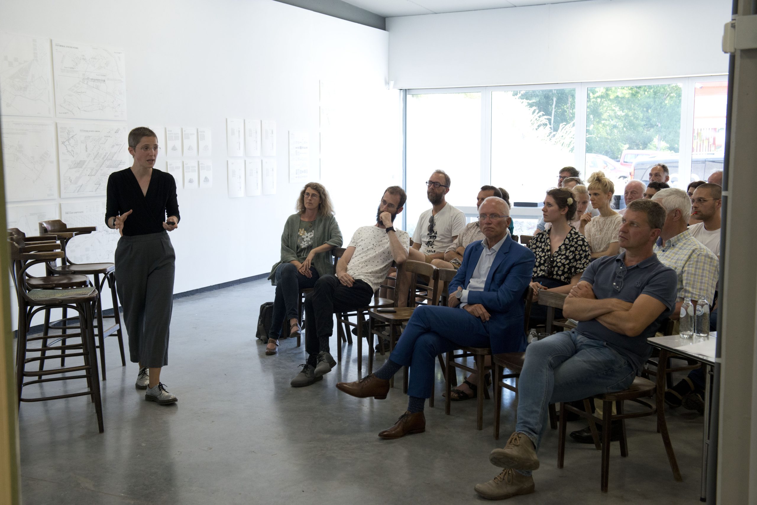
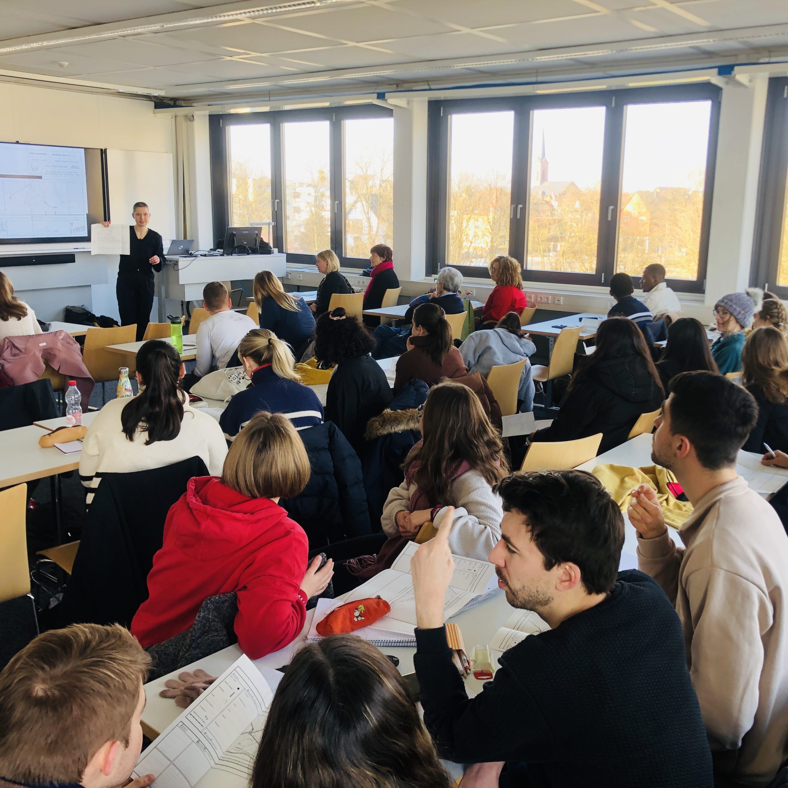
One of the core activities of the Institute of Cartopology is developing (and executing) educational programmes for a wide range of (junior) cartopologists. Literally, everybody is responsible for our daily surroundings. That’s why we educate (and exchange with) the young and wild-hearted but also the established expert. From lectures to workshops, our education for age 4 to 88 takes place at schools, universities, and community centres but preferably on -and in the direct surroundings of- the Institute of Cartopology. The proximity of the historical village of Vaals in the North and the nature reserves on the Vaalserberg directly South from the IoC but also the national border with two neighbouring countries, just a few steps away, are the perfect ingredients for experiments with maps and mapping outside of the walls of traditional educational institutes.
Didactic principles
|
There are some basic elements that we put at the core of our cartopological education. First, it’s about observing and documenting. These form the absolute basis of what it takes to be a cartopologist, or in a broader sense: to be able to consciously deal with an environment through a map. Second, there’s always a combination of spatial and societal elements involved. “Everything takes place”, so place and what happens in a place are inextricably linked. That’s why they always are treated equally and simultaneously.
|
Third, because space, place and society are linked, we touch upon a variety of disciplines. Cartopological education relates to- but doesn’t fit in any scientific field (like geography, anthropology, ethnography), nor to (just) architecture, urbanism, or art. As a (student) cartopologist, you find yourself in-between these fields, making use of them, learning from them but also distancing from them whenever necessary. Fourth, the attitude of ‘not knowing’ is crucial. There’s no expert telling a student how it works. We position ourselves next to the student, whether four years old or a senior researcher, and actively engage in the learning objectives at hand. This allows for a safe, vulnerable, and open dialogue in which learning from each other is optimally facilitated. |
More info
Contact the Institute of Cartopology for tailored lectures, workshops or long-term educational programmes.
Library of maps
Introduction
There’s maps and there’s maps. The backside of a coaster on which you drew some lines to show your friend the way to your place is as much a map as the famous world map by Joan Blaeu (1665), and the infamous GIS-based ‘Stikstofkaart’, recently produced by the Dutch national government (2022).
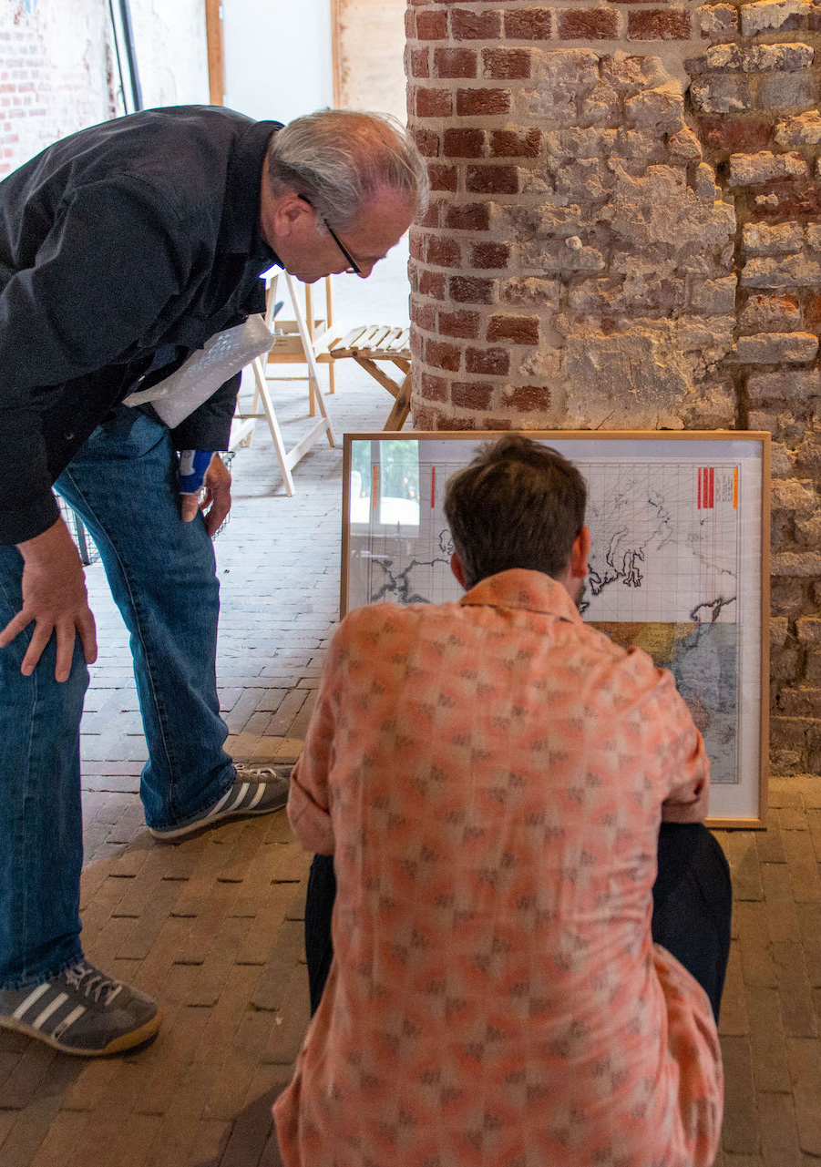
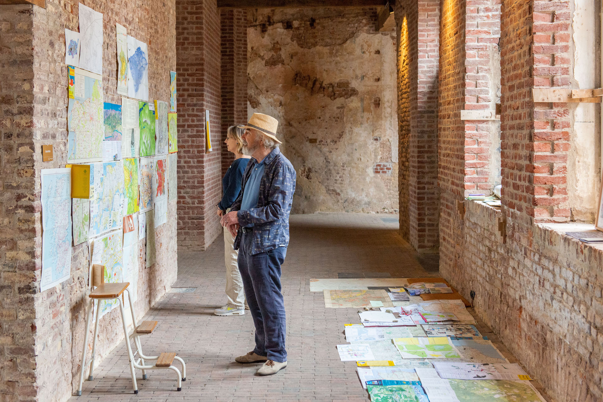
The most democratic part of the Institute of Cartopology must be the Library of Maps. In ordering, keeping, restoring, or exhibiting maps we don’t follow a fixed hierarchy: rather, we treat every map equally important because, for instance, the most expensive maps in the world would be useless when navigating your way from the Institute of Cartopology back to the bus stop in the valley. Within the library, we love to discuss and evaluate maps in relation to each other and our surroundings. Every map can teach us something about the environment and the way we relate to it: in the past, the present and, through research by design, also in the future. We welcome every map with open arms and treat them for what they are: unique windows to the world.
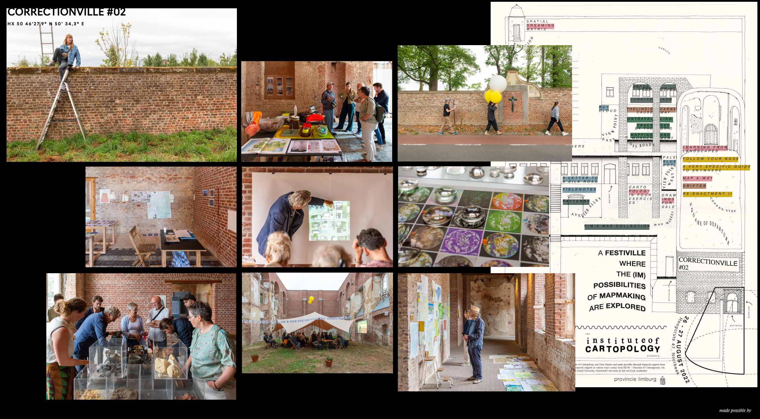
Correctionville
Correctionville #3
Introduction
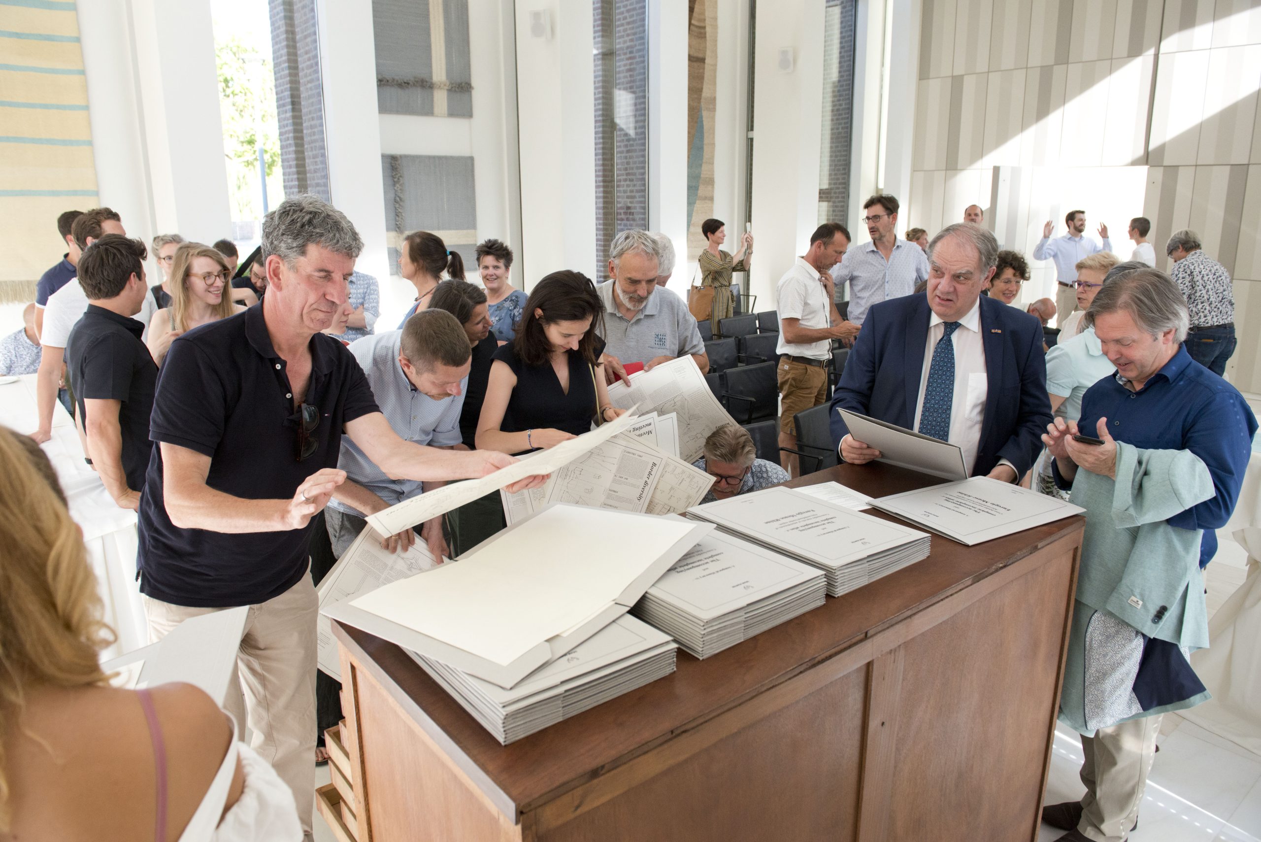
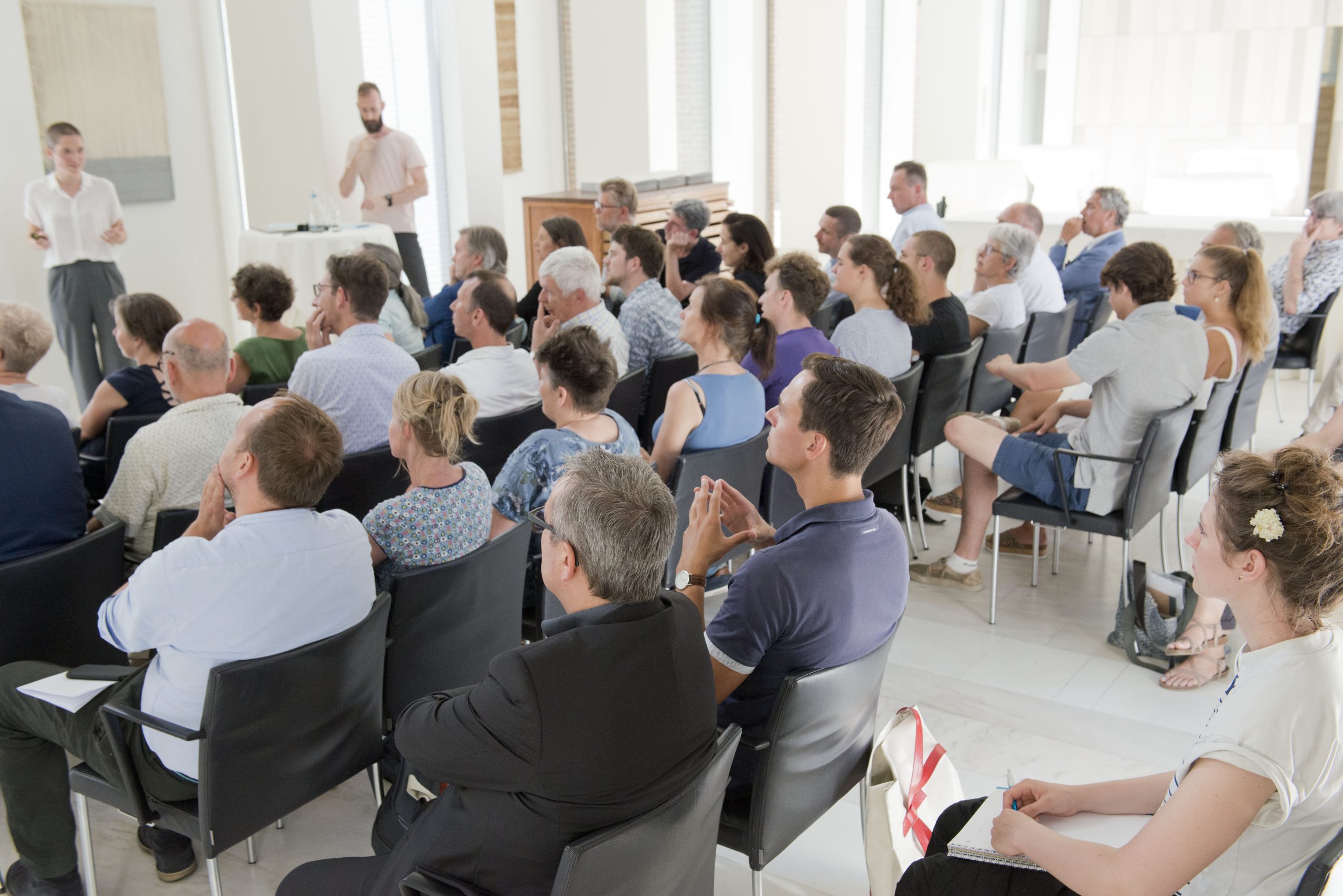
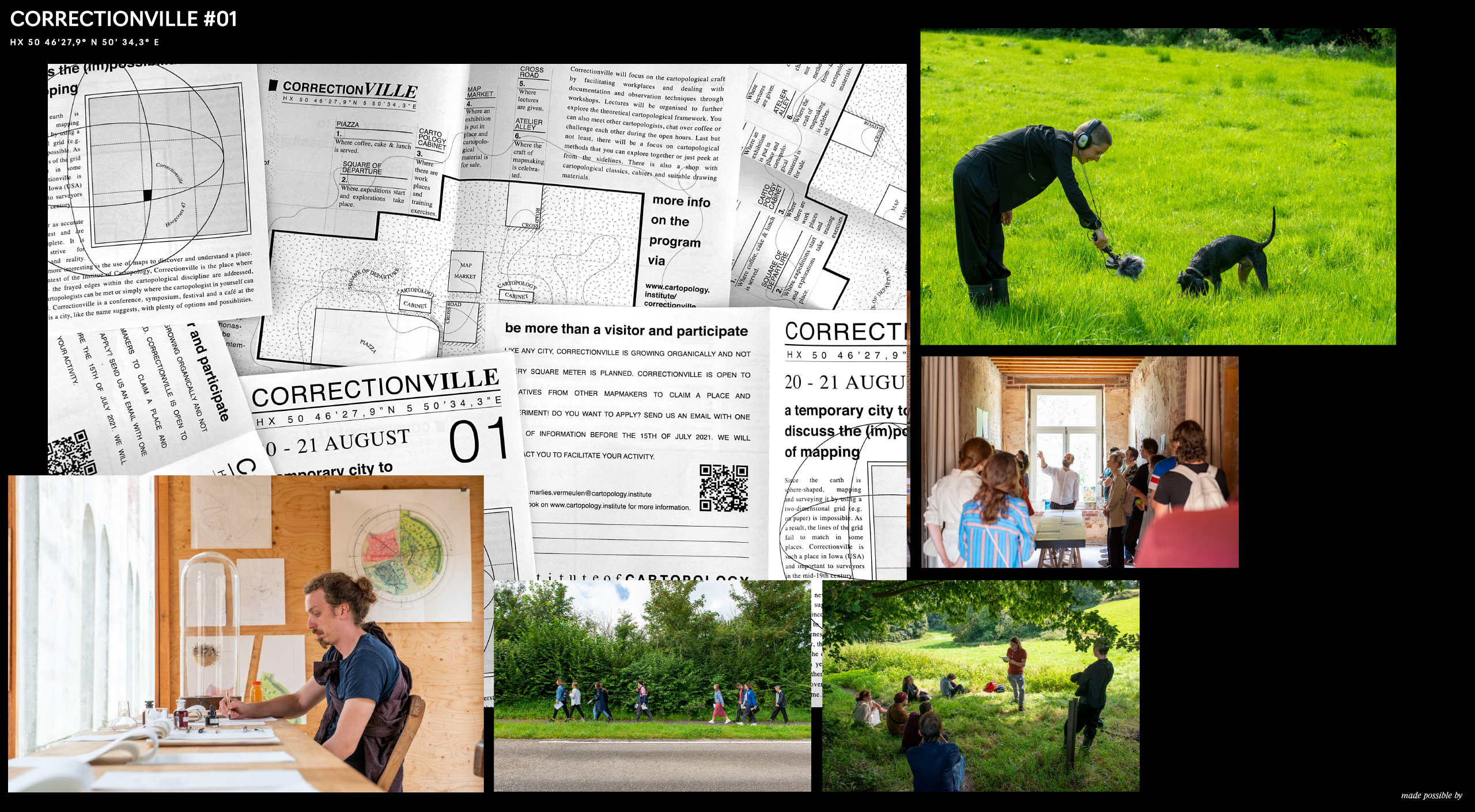
CORRECTIONVILLE is an annual festi-ville about maps. Free, but not without obligation*. Mapmakers, artists, cartographers, anthropologists, architects, hikers, ecologists, artists, mountaineers, policymakers, researchers and enthusiasts come together halfway up the mountain to celebrate the (im)possibilities of mapping.
* To allow residents and professionals to meet each other in a relaxed atmosphere, access to CORRECTIONVILLE is free, provided that the participant brings a self-chosen map. This encourages active participation and makes the event accessible to everyone.
CORRECTIONVILLE #03 took place 25th and 26th of August, 2023. See the full program and timetable over here (PDF). This site will soon be updated with some images of the previous edition, including the official opening of the Institute of Cartopology.
Background
|
The name ‘CORRECTIONVILLE’ comes from a town in Iowa, USA. Because the Earth is spherical, mapping the Earth on a two-dimensional grid (as on paper) is impossible. The lines of the grid fail sooner or later, requiring corrections to be made. Hence the name Correctionville: an important place for mapmakers and surveyors in the mid-19th century. The use of this name outlines the context of the festival. For the aforementioned problem, various projections offer a solution. Still, it is impossible to capture our rich environment in maps. All too often we relate to our environment through maps that only contains a fraction of the richness of reality. |
Just think of our frequent use of Google Maps. Google decides very precisely which things are on their maps and which are excluded. And, when planning a route, how often do we follow that blue line as if it were the only possible one? The challenging and complex reality we’re in cannot be understood or represented by maps that don’t do justice to it. That’s why CORRECTIONVILLE celebrates and encourages diversity within map-making practice. |
More Info
|
Making and reading maps open-minded and thereby becoming more aware of our surroundings is only half of CORRECTIONVILLE. Creating and questioning it by exploring the environment together with other map-makers and readers is at least as crucial. That’s why the focus in CORRECTIONVILLE lies on making, sharing and learning in a collective way. To achieve the objectives, the right atmosphere is crucial. This can best be described as a fun, cozy festi-ville, where participants and audience are curious about each other. |
Every year, the program consists of workshops, studio sessions, presentations, exhibitions, expeditions, experiments and a map market. There’s personal service from a good coffee bar, pleasantly decorated spaces, the best ‘vlaai’ and lunch with local and vegetarian/vegan products. And all this less than a kilometer from the national border in one of the most imaginative environments: at 246+NAP, halfway up the Vaalserberg. |
Expeditions
Introduction
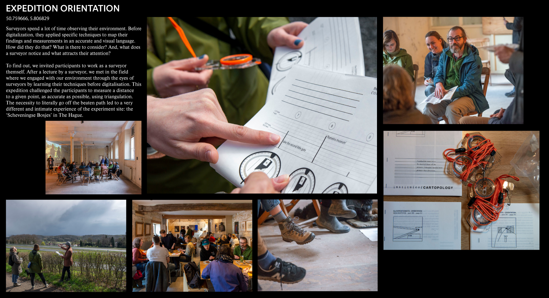
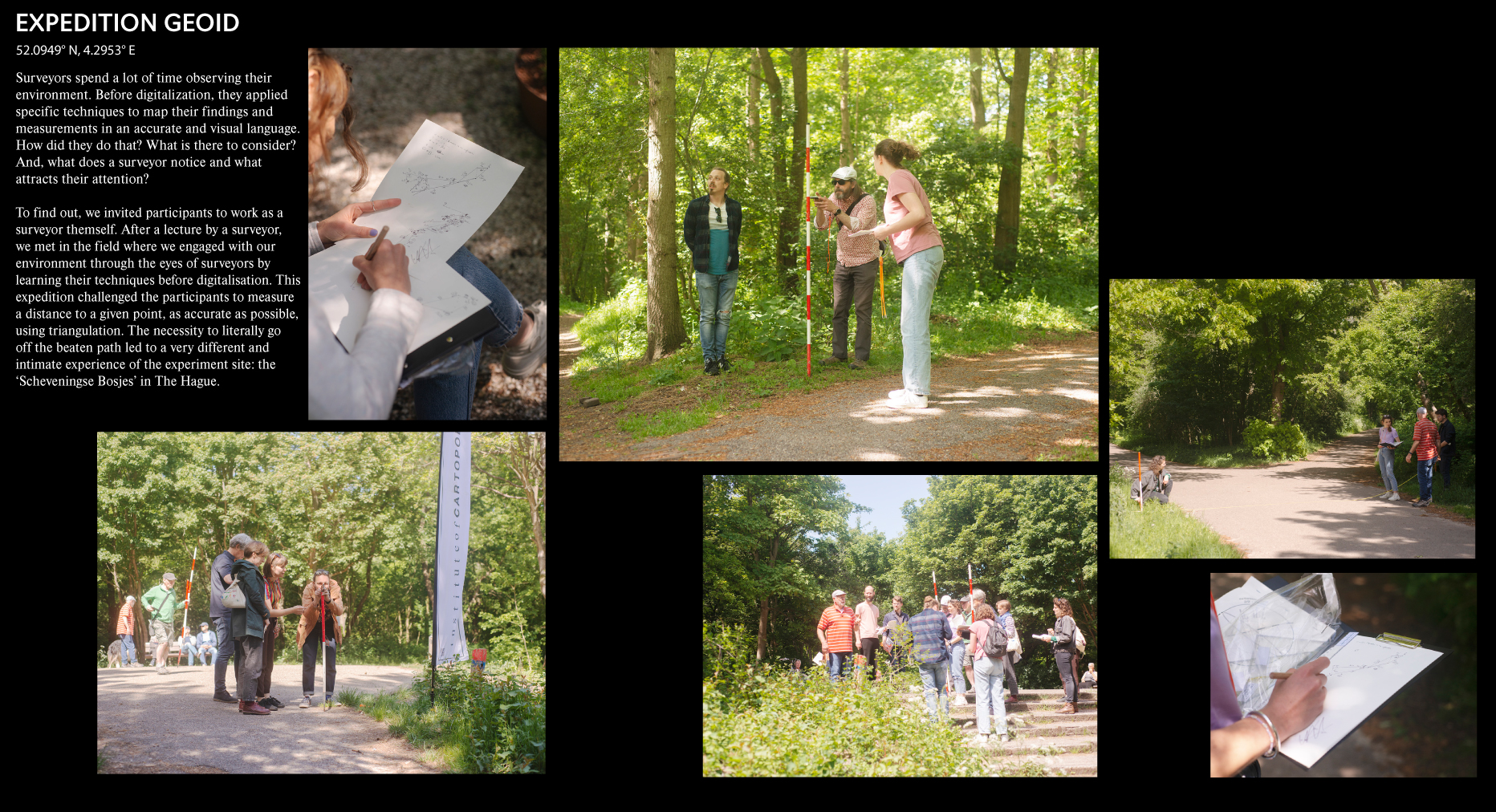
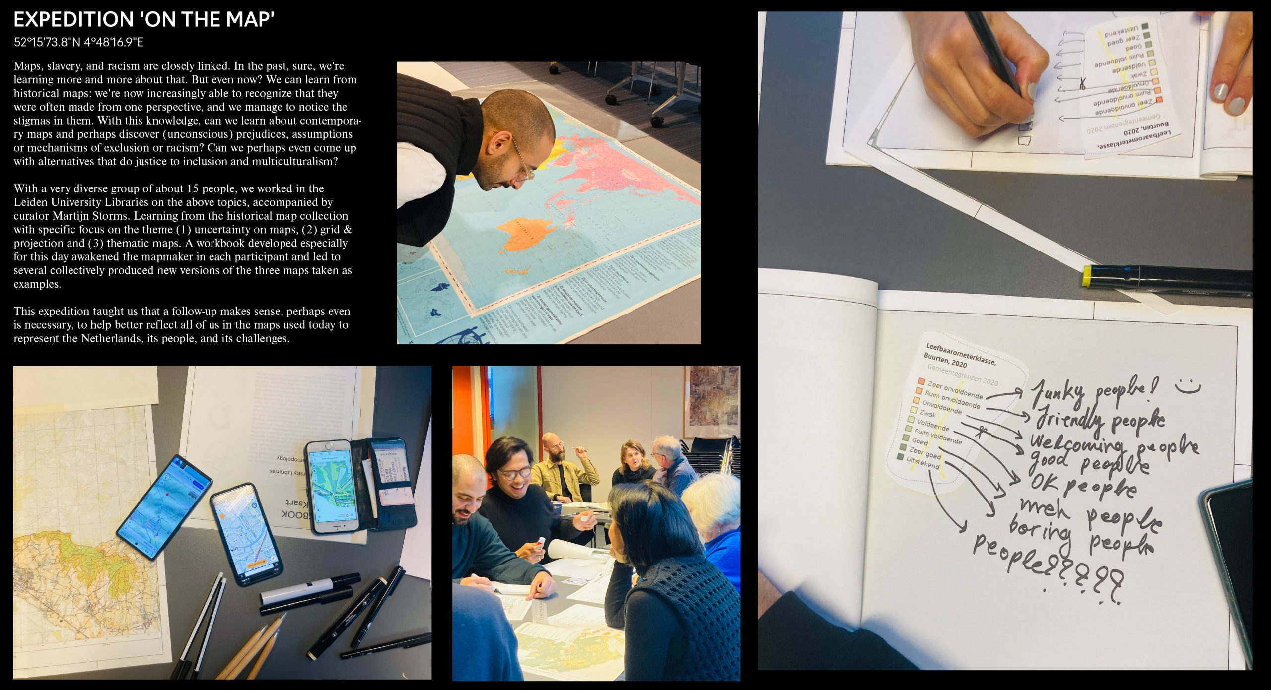
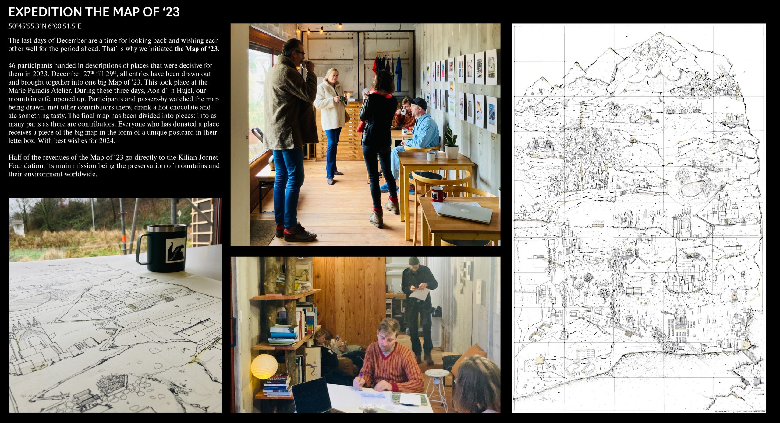
At the Institute of Cartopology, research does not take place behind closed doors but in the field together with a motley crew of policymakers, designers, map enthusiasts, scientists, residents, and artists. Bringing together different worlds such as art and science, amateur and professional from different disciplines provides valuable insights for both the field and the participants. Opening the cartopological practice, concretely engaging in experiments in the field, reflecting on them directly, making adjustments and at the same time applying them in a non-competitive setting – that is what The Expeditionists are all about.
Why and How
| Expeditions challenge the way we perceive our surroundings. A different lens results in a different view of the world around us. The Expeditionists take a closer look at the role of documenting knowledge from the field in the form of a map. For example, what does orientation on a map and in real life mean, and how does distance on a map relate to the perceived distance of an undulating landscape? | Conducting expeditions as an experimental method of acquiring knowledge is innovative and necessary to bring together theory and practice. To unite science and art and to put the cartopological making practice at the center. We don’t talk about cartopology: expeditions force us to think ‘through’ cartopology. Put on your walking boots and let’s go out there! |
Practical
Keep an eye on the agenda and our social media channels to stay up to date about upcoming expeditions!


